

Culebra Maps
Culebra lies east of mainland Puerto Rico and north of Vieques. It is a small, irregular island surrounded by cays and reefs, best known to travellers for Flamenco Beach, snorkelling and protected coastal landscapes.
Culebra & Vieques Elevation Map
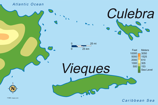
The shared map places Culebra and Vieques in relation to Puerto Rico's east coast. Culebra is the smaller and more northerly of the two islands.
Puerto Rico Elevation Map
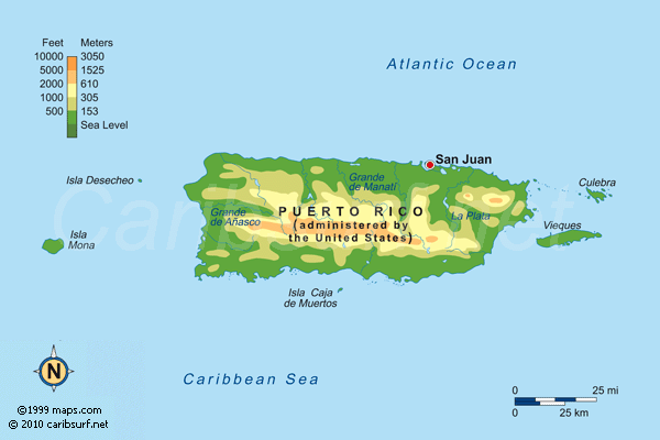
Use the main-island map for orientation before travelling to the Ceiba ferry terminal or connecting by air.
Puerto Rico Facts & Travel Guide | Puerto Rico Maps | Vieques Map | Gallery