

Vieques Maps
Vieques lies east of mainland Puerto Rico and south of Culebra. It is much longer than Culebra and combines small settlements with extensive protected land, beaches and the famous Mosquito Bay bioluminescent lagoon.
Culebra & Vieques Elevation Map
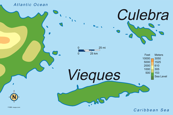
The map shows Vieques as the larger southern island. Most visitors reach it by ferry from Ceiba or by short flights from Puerto Rico.
Puerto Rico Elevation Map
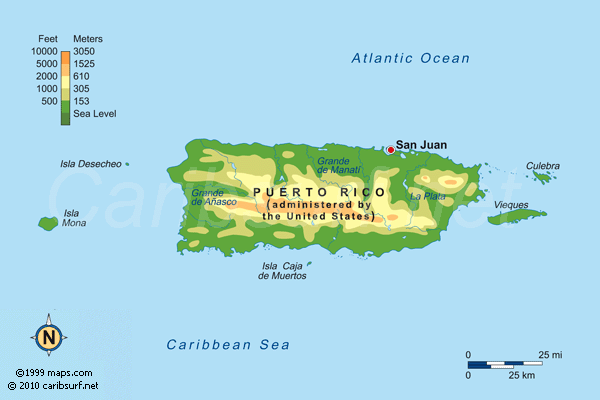
The main-island map helps place Vieques off Puerto Rico's east coast and shows the wider geography of a combined trip.
Puerto Rico Facts & Travel Guide | Puerto Rico Maps | Culebra Map | Gallery